- Resident
-
-
Parking and Transportation
- Columbia Regional Airport
- GoCoMo Transit
- Live Bus Routes
- Parking Tickets
- Parking Utility
- Snow and Ice Management
Assistance Programs
- Housing Programs Division
- Social Services
- Assistance Resources
-
-
-
- Business
-
-
Tools and Payment Portals
- General Billing Payments / Munis CSS
- Citizen Self-Service Instructions
- Minority and Women Owned Businesses Directory
Finance
- Online Business Licenses and Building Permits (CSS)
- Bid Solicitations / Vendor Registration
- Business Licenses
- Pay Hotel/Motel Taxes
- Approved Cooperatives List
- Pay Invoice
-
Planning, Building and Zoning
- Building and Site Development
- Unified Development Code
- Zoning Map
-
-
-
-
- Visitors
-
-
Convention & Visitors Bureau
-
-
- Government
-
-
Departments
-
- Services
-
-
Service Categories A-Z
-
-
-
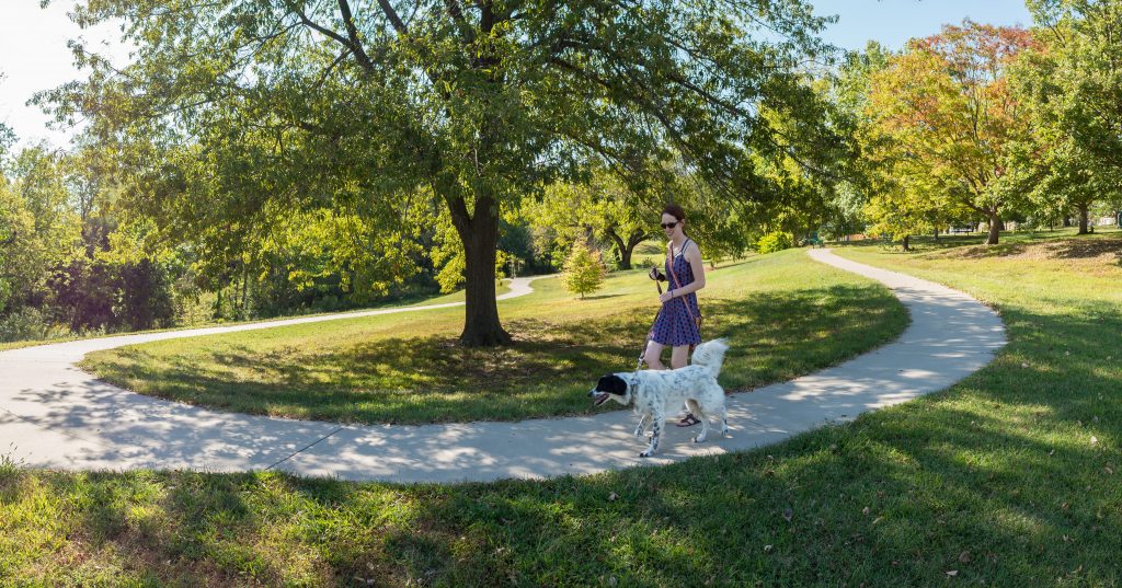
The Columbia Trail System features a variety of trails in different settings – parks, nature sanctuaries, along creeks and through wooded areas – with a variety of trail surfaces for runners, walkers, wheelers, and bicyclists. Amenities along the trails, such as water fountains, restrooms, and bike repair stations, are provided to make your journey easier. You can find the location of these amenities on the trails map.
Trails have long been important to the quality of life for Columbians. In a 2015 city-wide citizen survey, it was found that 82 percent of Columbia households use the trail system! In fact, this love of trails extends outside Columbia’s borders – the state of Missouri in 2013 was named the “Best Trails State” by American Trails, a national, nonprofit organization working on behalf of the nation’s hiking, biking and riding trails. Columbia Parks and Recreation is proud to contribute to this designation.
Trails
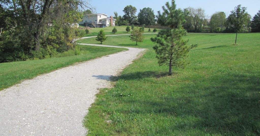
This gravel trail circles the pond and loops around the perimeter of the park. The trail routes around and connects all the park amenities - the pond, shelter, playground, basketball court and playfield.
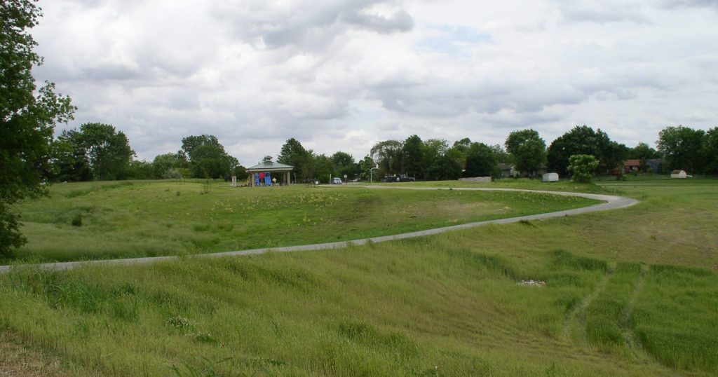
The gravel trail loops around the perimeter of this 9.4-acre park. The trail can be accessed from Manhasset Dr. on the east or Louisville Dr. on the west.
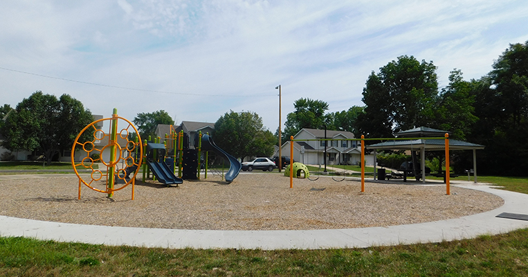
This 0.15 mile concrete trail encircles the playground, crosses the creek and leads to the full basketball court and open play field with a backstop.
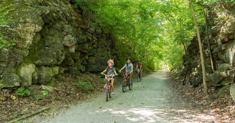
The MKT Trail is Columbia's premier multi-use trail. It ranked second in the nation for "Best Urban Trail" in the 2016 USA Today's 10 Best Readers' Choice Awards. This 10-foot wide trail built on the old railbed of the MKT railroad begins in downtown Columbia in Flat Branch Park at 4th and Cherry Streets and ends at the State of Missouri's Katy Trail State Park near McBaine. The distance from the start of the MKT Trail to the Katy Trail is 8.9 miles. The KATY Trail extends for 240 miles from St. Charles in eastern Missouri to Sedalia in western Missouri. The all-weather crushed limestone surface provides opportunities for walking, running, and cycling.
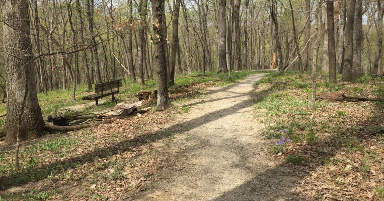
Located off Green Meadows Rd. on Lynnwood Dr., this 10-acre neighborhood park has a 0.3-mile gravel trail well-suited for walking in a natural wooded setting.
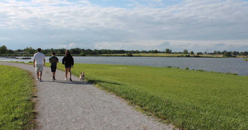
This gravel trail encircles the 40-acre lake at A. Perry Philips Park. Trail users can enjoy a view of the lake busy with fishers and boaters (trolling motors only). There are two single table shelters along the lake trail to provide a shady place to picnic.
Take a nature walk from the picnic area to Bear Creek on the nature trail in Proctor Park. The path makes a small circle through a wooded area and leads to Bear Creek Dr.
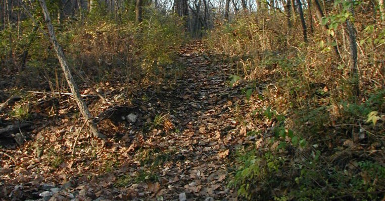
This challenging mountain bike course, also available for hiking, was designed by the 1996 Olympics key course designers. The trailhead is east of Antimi Baseball/Softball Complex in Cosmo Park.
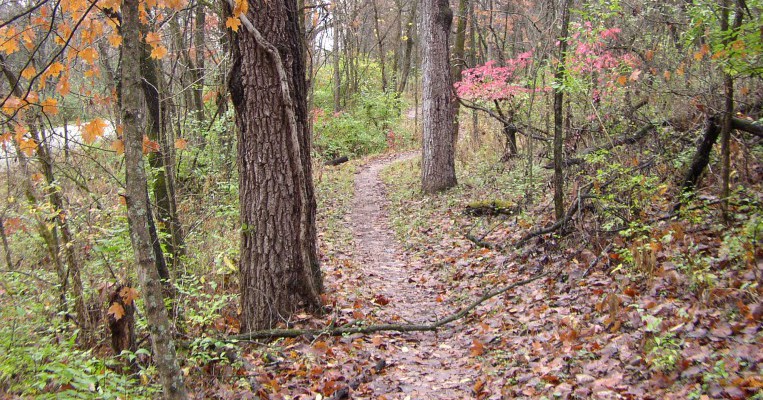
This 19-acre park features a 0.6-mile gravel walking trail loop with varying grades that encircles the park's picnic shelter, pond, playground, large playing fields, and Rock Quarry House. The park is located just off Grindstone Pkwy., which can be accessed from either Rock Quarry Rd. or Old Hwy. 63 via Ponderosa St.
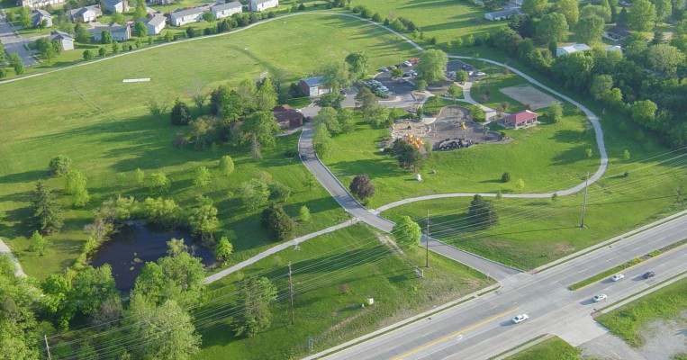
This park trail is gravel on the north, south, and west side and connects to a sidewalk on the east side of th
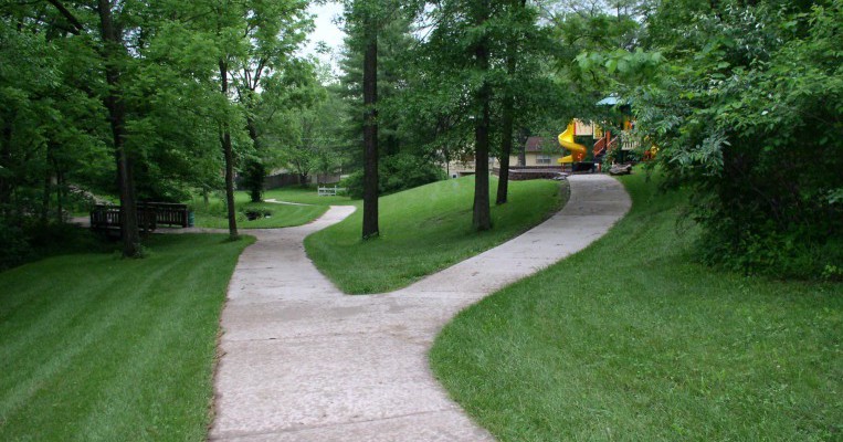
The trail begins at Bonnie View Nature Sanctuary located at 3300 Rollins Rd. and travels south to Chapel Hill Rd. There is a trail connector through Fairview Park to Fairview Elementary School to provide a safe and enjoyable route to school for students.
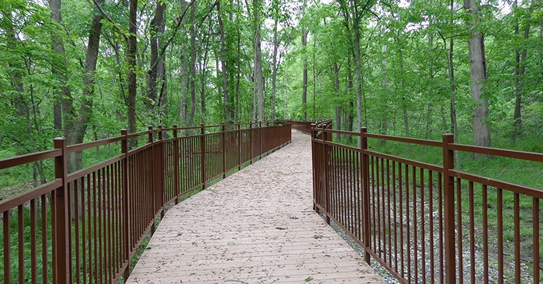
During off-school hours, neighborhood residents can use this 0.3-mile, asphalt track complete with exercise stations.
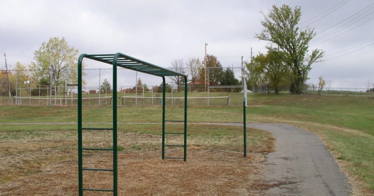
Enjoy a fitness and nature walk on this 0.2-mile trail located within a 5-acre neighborhood park just north of Shepard Boulevard School.
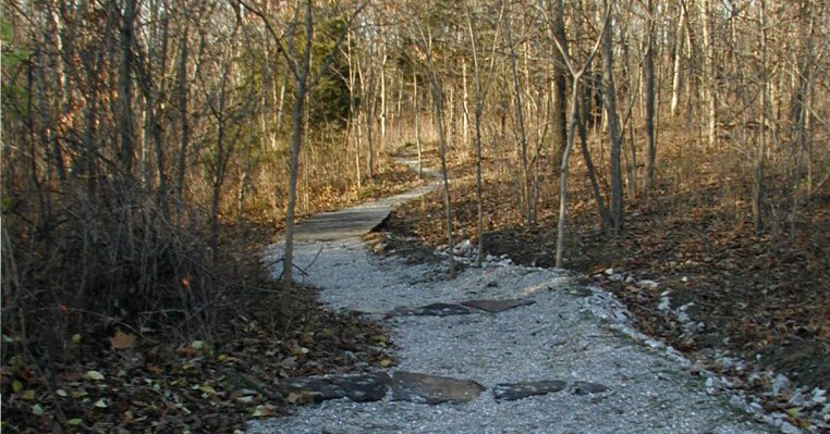
The gravel trail follows the west and south sides of this triangle-shaped park and connects to the sidewalk along Smiley Lane, forming a 0.4-mile loop.
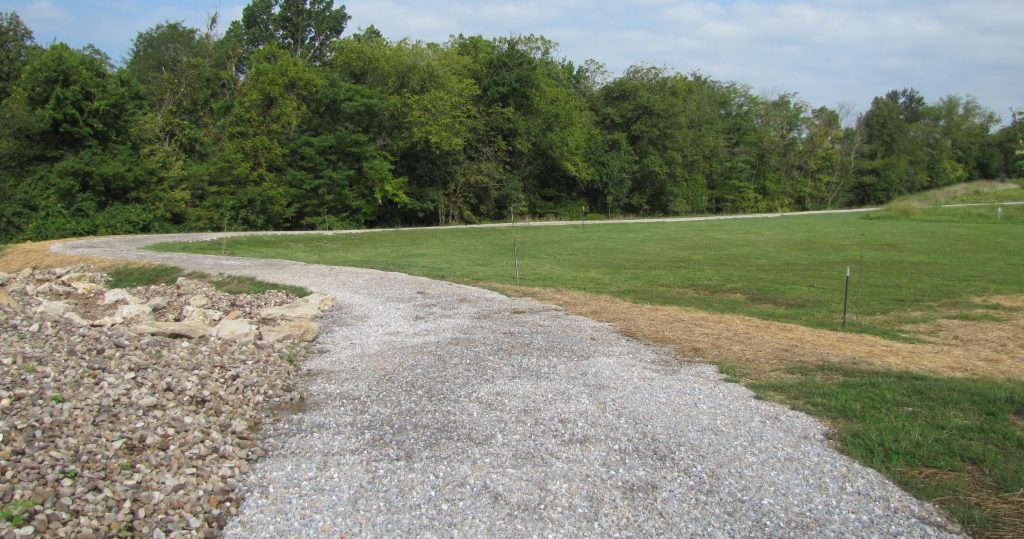
This 0.3 mile trail encircles a 2.8 acre lake, with the park on the north side and a wooded area on the south side. The trail is concrete on the north side and part gravel on the south side. Smith Park also has a large reservable shelter, playground, skate park, basketball court, baseball/softball practice field, restrooms, and parking lot. A sidewalk connects the lake trail with the other park amenities.
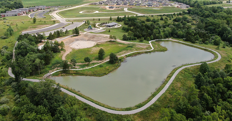
The 0.3-mile gravel trail encircles the 6.1 acres leased from the Evangelical Free Church. The trail loops around the baseball/softball practice field and passes along some wooded areas.
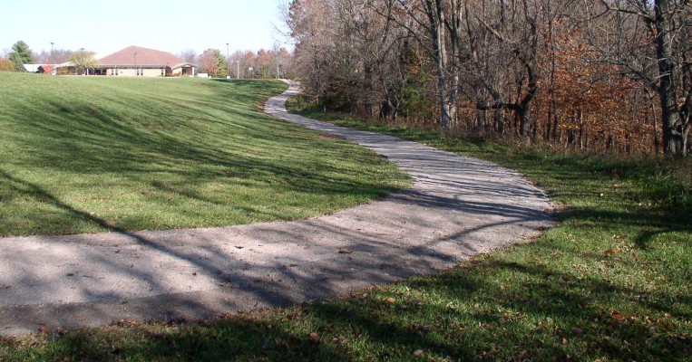
The South Providence Trail runs alongside Providence Rd. from Old Plank Rd. to Green Meadows Rd. By use of the crosswalk at Providence and Old Plank Rd., trail users can commute from Rock Bridge Elementary School to Green Meadows Rd. Users can access the trail at any Providence Rd. intersection along the way.
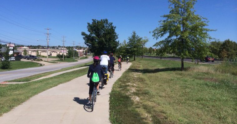
Stephens Lake Park trails have something for everyone. Two trails, including a 0.6-mile lake trail and a 1.7-mile perimeter trail, allow park users to enjoy the scenic views as they walk, run, bike, or wheel.
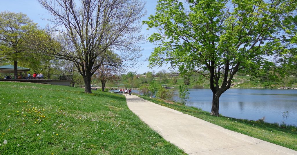
A sidewalk from Garden Dr. leads east to the playground area. The sidewalk turns into a gravel trail at the bridge, travels east around the park, circling back west the length of the park, and leads back to Garden Dr.
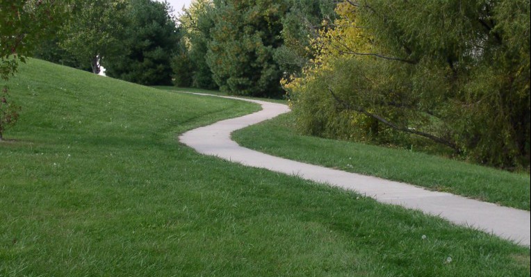
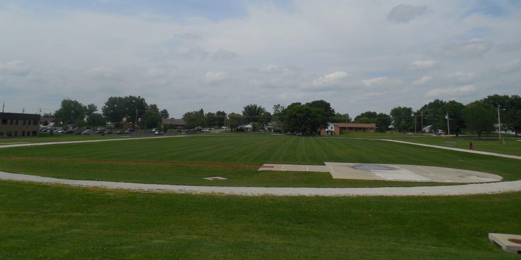
Table of Contents Trail Miles: 400 meter track, limestone
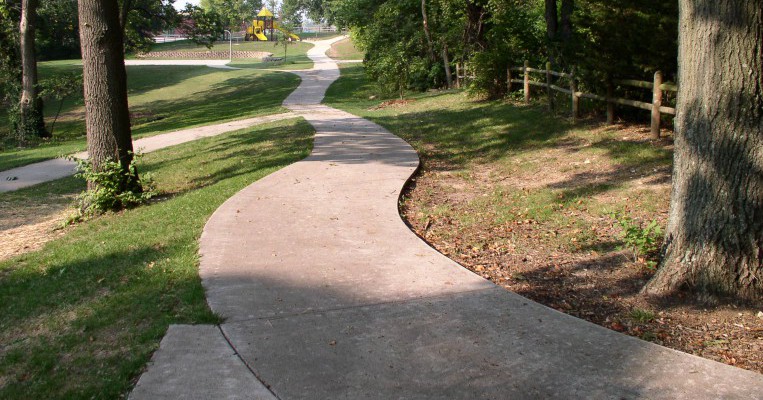
A 0.25-mile walking trail meanders through the wooded area in Westwinds Park using two wooden bridges to cross a natural creek. Parts of the trail climb steep grades in the woods. The trail then becomes concrete as it circles around the playground and picnic shelter to the park entrance.
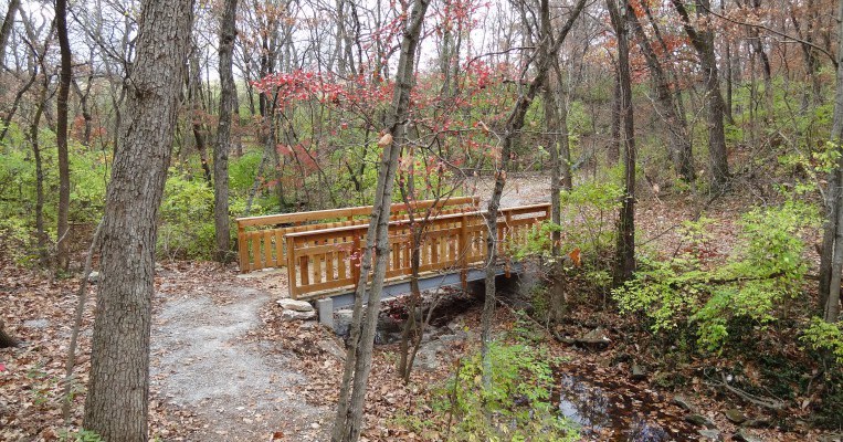
Located just east of the University of Missouri Veterinary Hospital, this 9-acre park preserves a heavily wooded natural area in the midst of urban development. Approximately 2/3 mile of dirt and gravel trail allows park users to enjoy the natural setting. Portions of the trail are relatively steep and are not considered wheelchair accessible. The park and trail may be accessed from Rockhill Rd., Wilson Ave., or Rollins S
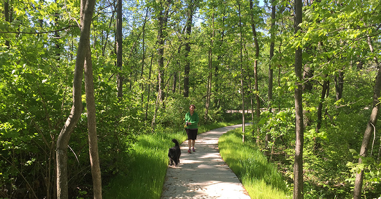
This 0.4 mile concrete trail loops around the perimeter of the park and includes the sidewalk on Lansing Drive. Visitors may enjoy stopping to sit and rest at the council ring located in a shady area off the trail. The trail travels mostly through the wooded areas of the park and connects the inclusive playground at the south of the park with the playfields at the north end of the park. There is trail connector to the Ronald McDonald House to the west.
Quick Links
- Trail Guide & Map
- Trails Plan and 30-Mile Trail Loop
- History of Trail Development in Columbia, MO
- Choosing the Right Trail Surface for Construction
- Accessible Multi-Use Trails
- Columbia Bike Map
- Citizen Survey: Impact of the MKT Trail on Nearby Property Owners
- Trail Etiquette, Rules and Regulations
- Trail Information for Property Owners
- Trail Safety Tips
- Park Patrol Volunteer Program
- Parks & Facilities Guide
- Park Directory


